Balamban and Mt. Manunggal
Cool mountain air, a winding highway with big views and a quiet memorial where President Magsaysay's plane went down in 1957. An easy hike and a great first camping trip from Cebu City.
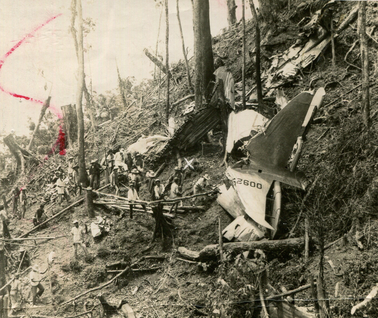
High in the mountains of central Cebu, about an hour or two from the city, Mt. Manunggal is where cool air, vegetable farms and a piece of Philippine history meet. On 17 March 1957 the presidential plane crashed on its slopes, killing President Ramon Magsaysay and 24 others. Today the site is a peaceful park with a memorial, a grassy campsite and wide views, reached along the scenic Transcentral Highway to the town of Balamban.
Why go to Mt. Manunggal
- Cool mountain air, a real break from the heat of the city.
- History: the Magsaysay crash site, declared a National Historical Landmark in 2012.
- Easy camping on a grassy campsite, with sunrise and sea of clouds on lucky mornings.
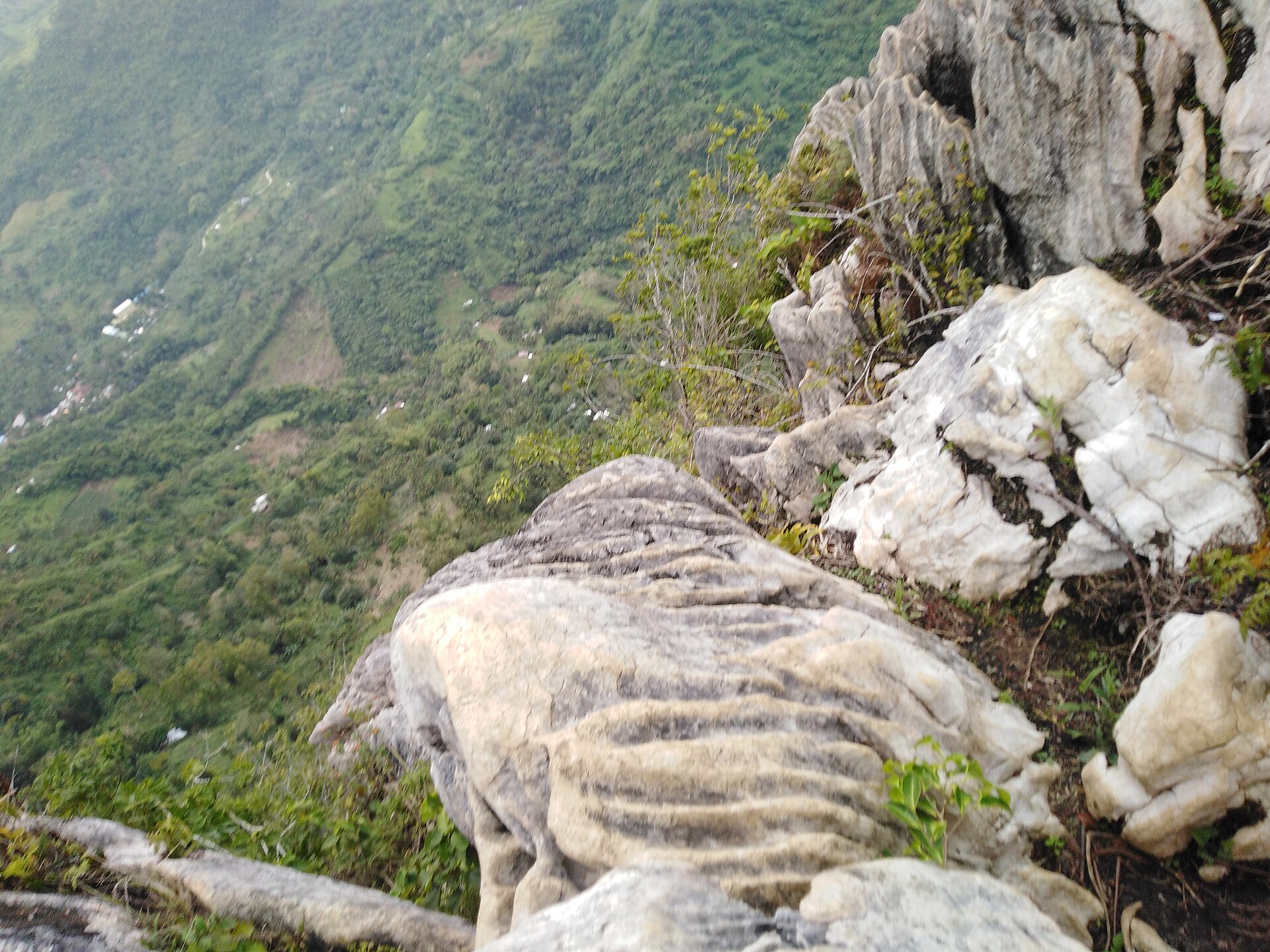
- Big views on the way up the winding Transcentral Highway.
The memorial and the park
Mt. Manunggal rises to roughly 1,000 metres and is often named as the third-highest peak on Cebu. The presidential plane, a C-47 named Mt. Pinatubo, was flying back to Manila when it went down in the early hours of 17 March 1957. Only one person survived, the journalist Nestor Mata.
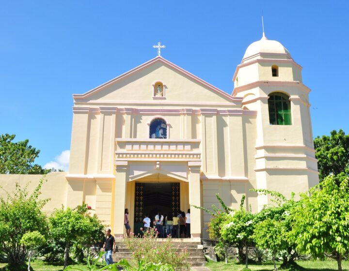
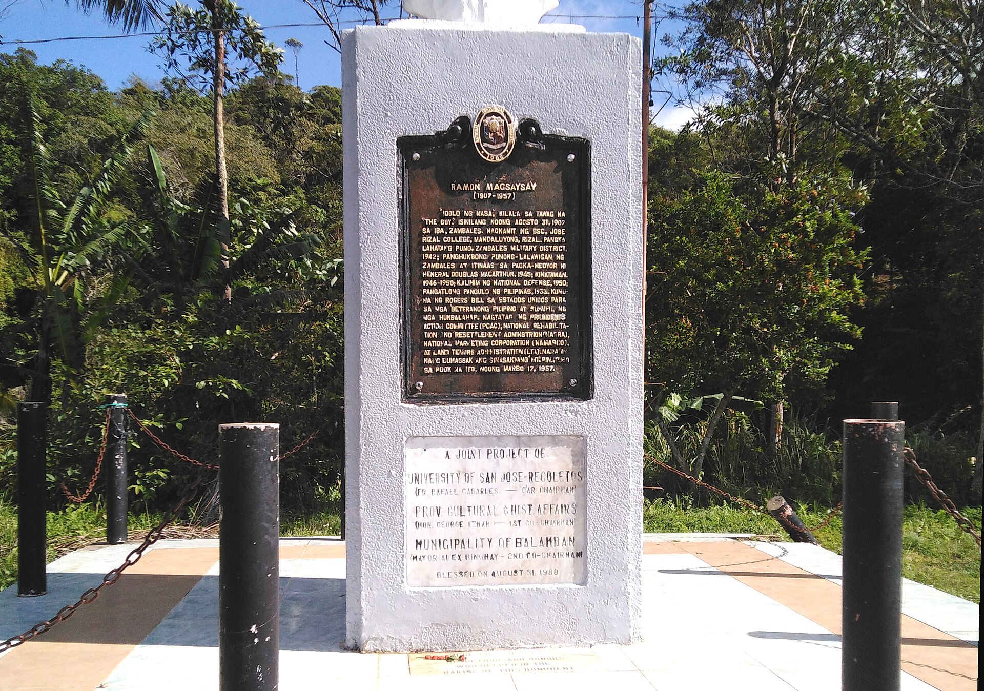
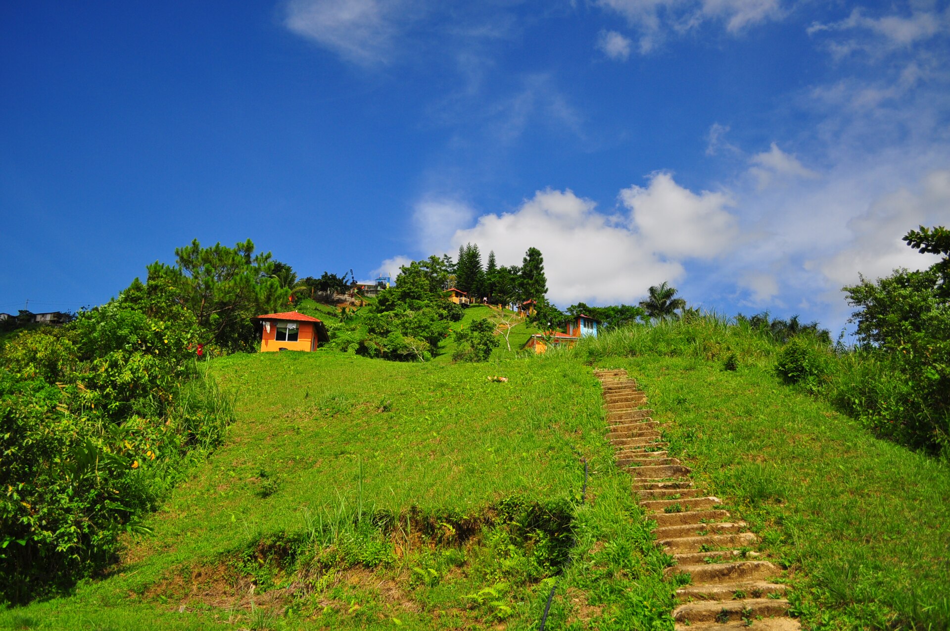
At the park you will find a monument to Magsaysay with a historical marker, a memorial with a block from one of the plane's engines, a small chapel and an open, grassy campsite with toilets and spring water. Every year around 17 March, hikers and local officials climb to the site to remember the president. Please treat the memorial with respect: no climbing on it, no graffiti and no loud music.
The hike and camping
There are two main ways up. The short way starts from the road on the Balamban side, near barangays Gaas and Sunog. Many visitors ride a habal-habal (motorbike taxi) most of the way and walk the last part, which is easy for beginners. The long, classic trek starts at Tabunan in the uplands of Cebu City and takes most of a day, through farms, forest and rocky ridges. For that route, hire a local guide.
Camping is the best way to enjoy Manunggal: cool evenings, stars and an early sunrise. Bring your own tent or ask about rentals, and expect small registration, entrance and camping fees. Reports in recent years put each fee well under ₱100, but they change, so bring cash and check on arrival. Mt. Manunggal sits inside the Central Cebu Protected Landscape, so stay on the trails and carry out all your rubbish.
Where is Balamban and Mt. Manunggal?
Barangay Magsaysay, Balamban, Cebu
Directions open in Google Maps, starting from where you are. Its travel times are estimates, and ferries and island boats may not be included.
How to get to Mt. Manunggal from Cebu City
- Take a van (v-hire) to Balamban from the van terminal near Ayala Center Cebu, or a bus to Balamban that goes via the Transcentral Highway.
- Ask the driver to drop you at the Manunggal junction (locals say "eskina Manunggal") on the highway. The ride takes about 1-1.5 hours.
- Hire a habal-habal up the mountain road to Mt. Manunggal Park. Agree on the fare first.
- Register at the entrance, pay the fees and walk up to the memorial and campsite.
Van fares have been reported at around ₱150-₱175 and habal-habal rides at around ₱150 per person, but always check on the day. Leave the city early, as the highway is slow behind trucks. Going back, last vans can fill up in the late afternoon, so do not leave it too late. For more on terminals and transport, see getting around Cebu.
The Transcentral Highway and Balamban town
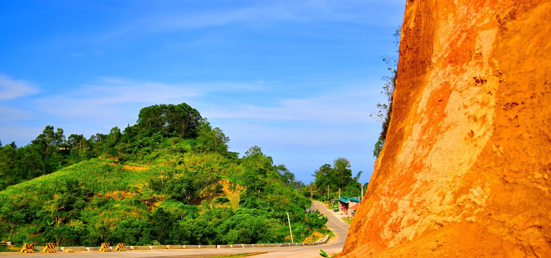
The Transcentral Highway climbs from Cebu City over the mountains to Balamban on the west coast. On a clear day you see green ridges, farms and, as you drop to the coast, the sea of the Tañon Strait. It is narrow and full of bends and can have landslides after heavy rain, so ride carefully if you drive or rent a scooter.
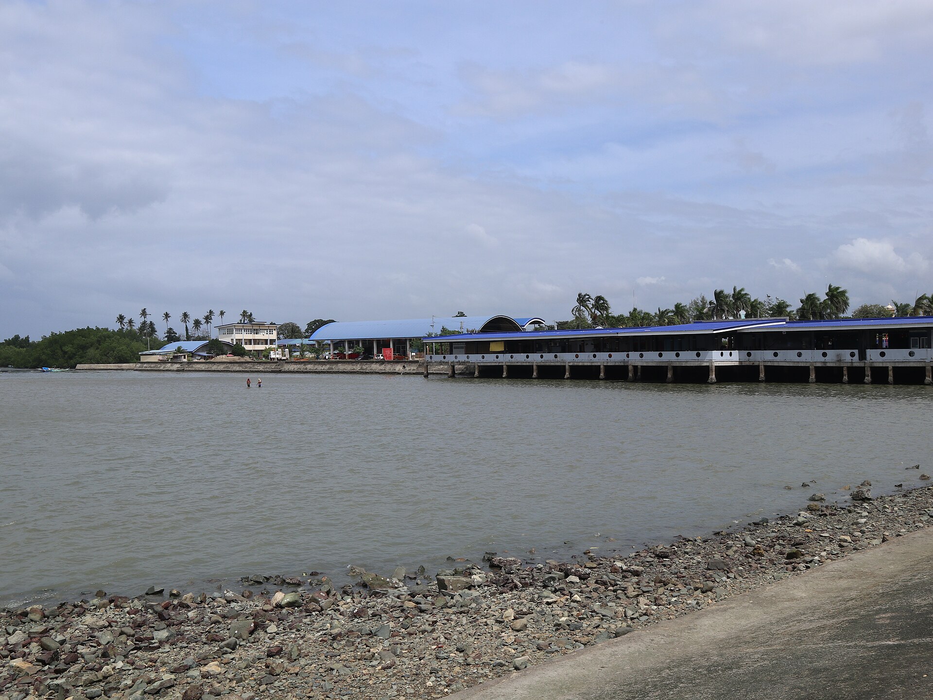
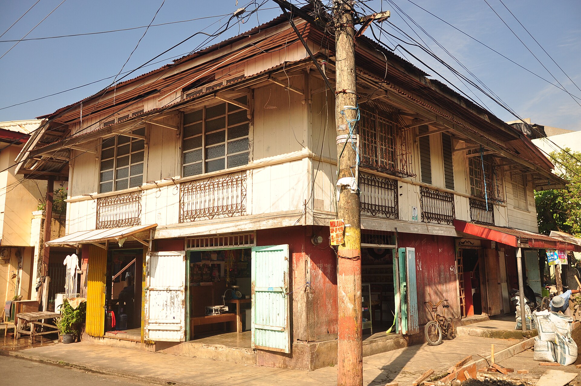
Balamban itself is a working town known for its shipyards. Walk the seaside baywalk, look for the old ancestral houses near the centre, and eat at simple eateries near the public market. Hilltop resorts and campsites line the highway, with cottages and food for day visitors.
When to go
The dry season, from about December to May, is best. The trail is firm and mornings are clearer. From June to November, expect rain, mud and fog, and skip the trip if a storm is coming. Nights can feel surprisingly cold for the tropics, so bring a warm layer. Weekends and holidays are busy with campers, so go on a weekday for a quiet night.
Tips for a good trip
- Bring cash for fees, rides and food. There are no ATMs at the park.
- Pack a jacket, rain cover and a headlamp, even in the dry season.
- Wear shoes with good grip. The trail can be muddy and the rocks slippery.
- Bring enough water and snacks. Small stores near the park sell basics.
- Follow Leave No Trace: take your rubbish home and keep campfires small and only where allowed.
Love the mountains? Watch the sunrise from Osmeña Peak, or enjoy city views closer to town in Busay. Our hiking in Cebu guide has more trails.
Photo gallery


Tap a photo to see it full size. Gallery photos come from Wikimedia Commons; each photographer's credit shows when you open the photo.
Watch before you go
Photo: "Cebu Transcentral Highway (whologwhy) - Flickr" by whologwhy, via Wikimedia Commons, licensed under CC BY 2.0.
Last updated October 28, 2026
Use this page
Writing about this trip, or planning one? Copy a link or citation in one tap, or print this page to take with you.
See what gets copied
- Link code
<a href="https://touristbooklet.com/destinations/balamban-mt-manunggal/">Balamban and Mt. Manunggal - Tourist Booklet</a>- Citation
- Balamban and Mt. Manunggal. Tourist Booklet. Last updated 28 October 2026. https://touristbooklet.com/destinations/balamban-mt-manunggal/
From Tourist Booklet: https://touristbooklet.com/destinations/balamban-mt-manunggal/. Last updated 28 October 2026. Prices and times change, so check before you go.