South Cebu
0 views
Osmeña Peak
The highest point of Cebu, about 1,000 metres up in Dalaguete. A short, rewarding hike to jagged green peaks and views of both coasts, best at sunrise.
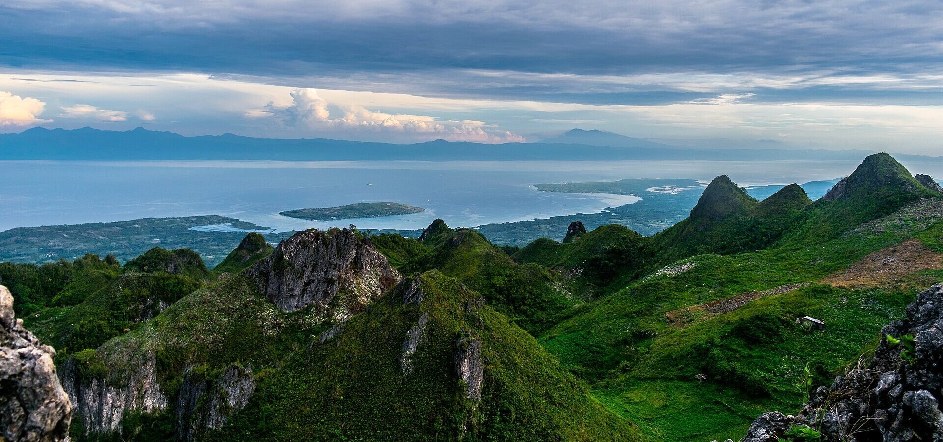
Osmeña Peak is the highest point of Cebu, at roughly 1,000 metres above sea level, in the cool mountain village of Mantalongon in Dalaguete. From the top you look out over a sea of jagged, grassy hills, often called the "chocolate hills" of Cebu, with the Tañon Strait and Negros on one side. The best part: the hike is short, so almost anyone can do it.
Why go to Osmeña Peak
- Cebu's highest point, with views over pointed karst hills and the sea.
- A short hike of about 20-30 minutes, friendly for beginners.
- Sunrise above the clouds on a clear morning.
- Cool mountain air and vegetable farms in Mantalongon, the "salad bowl" of Cebu.
The hike
From the jump-off, a narrow, rocky trail climbs gently through farmland and grass. It takes most people about 20-30 minutes to reach the viewpoints, with a short, steeper scramble over rocks to the very top. Registration and a local guide are usually required, and a small entrance fee is collected at the jump-off. Guides know the trail well, so it is easy and safe to follow them.
Wear shoes with grip, not flip-flops: the rocks are sharp and can be slippery when wet. The summit area has no railings, so stay back from the edges, especially in wind or fog.
Sunrise and camping
Many visitors come for sunrise, which means leaving the jump-off in the dark with a headlamp. Some campsites near the peak allow you to pitch your own tent for a small fee, so you can wake up right there. Nights are cooler than on the coast, so bring a light jacket.
Osmeña Peak to Kawasan Falls
Experienced hikers sometimes trek from Osmeña Peak down to Kawasan Falls in Badian. It is a long, tiring day on steep, unmarked trails, so only do it with a local guide who knows the route.
How to get to Osmeña Peak from Cebu City
- Go to the Cebu South Bus Terminal.
- Take a bus going down the east coast towards Dalaguete, Oslob or Bato via Oslob, and get off in Dalaguete town. About 2.5-3 hours.
- Take a habal-habal (motorbike taxi) up the mountain road to Mantalongon and the Osmeña Peak jump-off, about 30-45 minutes.
- Register at the jump-off, meet your guide and start the hike.
For sunrise, arrange your habal-habal ride the evening before, or stay overnight in Mantalongon or Dalaguete. The mountain road is steep and winding, so ask the driver to go slowly. Fares change, so agree on the price, including the ride back, before you set off.
Getting around
There is no regular transport to the jump-off, so habal-habal are the way to go. Many drivers will wait for you while you hike. If you are confident on a scooter, you can rent one in Moalboal or Oslob, but the roads are steep with blind corners.
Where to stay and eat
Simple homestays and campsites are available around Mantalongon, and Dalaguete town has a few places to stay along the coast. Food at the peak is limited to small stores, so bring water and snacks. The Mantalongon market sells fresh mountain vegetables, and Dalaguete has small eateries for a meal after the hike.
When to go
The dry season, from about December to May, gives the best chance of clear views. In the rainy months the peak is often covered in fog and the trail turns muddy. Go early in the morning, on a weekday if you can: weekends and holidays get crowded.
Tips for a good trip
- Bring a headlamp for a sunrise hike and a light jacket for the cold.
- Carry cash for the entrance fee, guide and habal-habal.
- Stay on the trail and do not pick plants or damage the farms around it.
- Take all your trash back down with you.
Combine the peak with the waterfalls of the south: Kawasan Falls on the west coast, or the old town of Argao on the way back to Cebu City.
Photo gallery
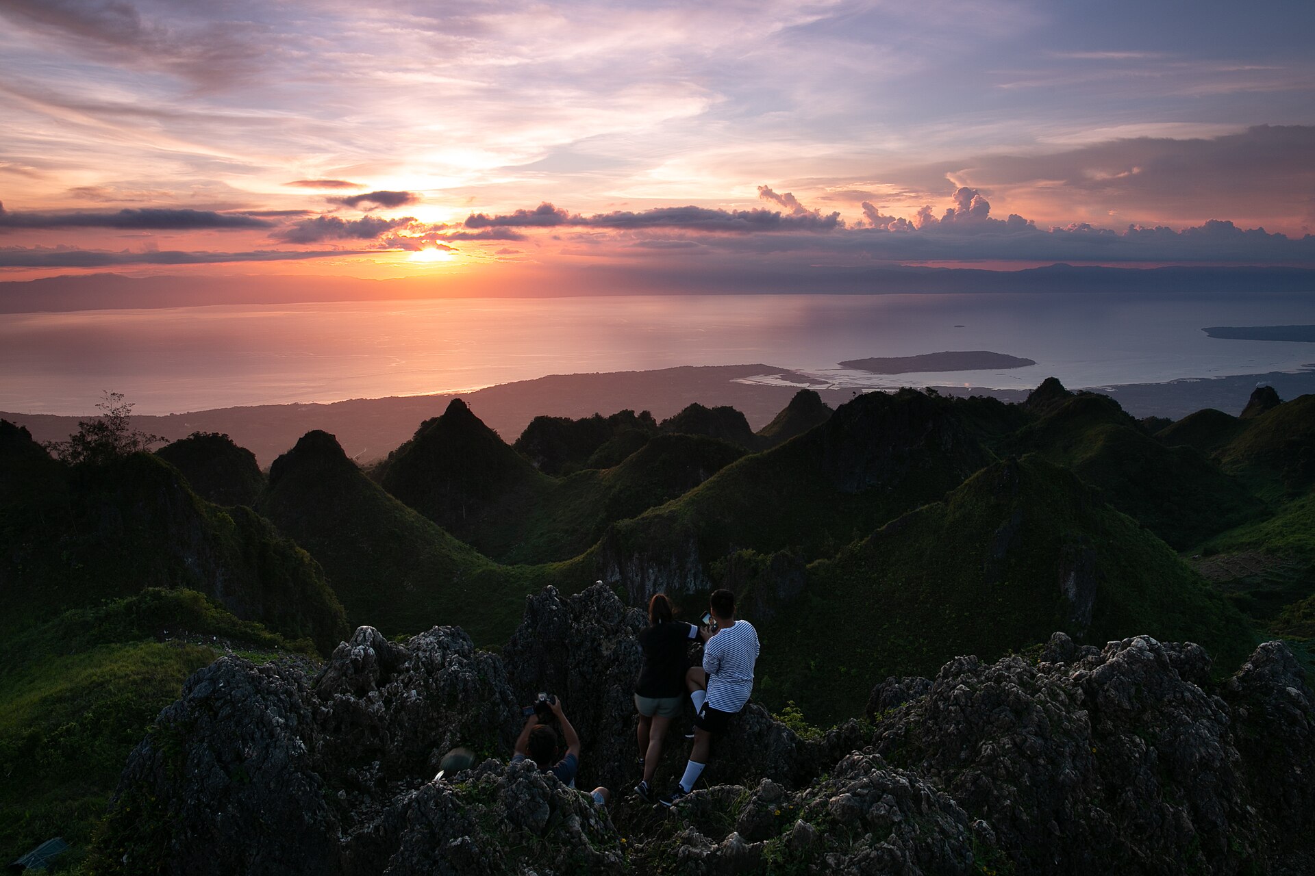
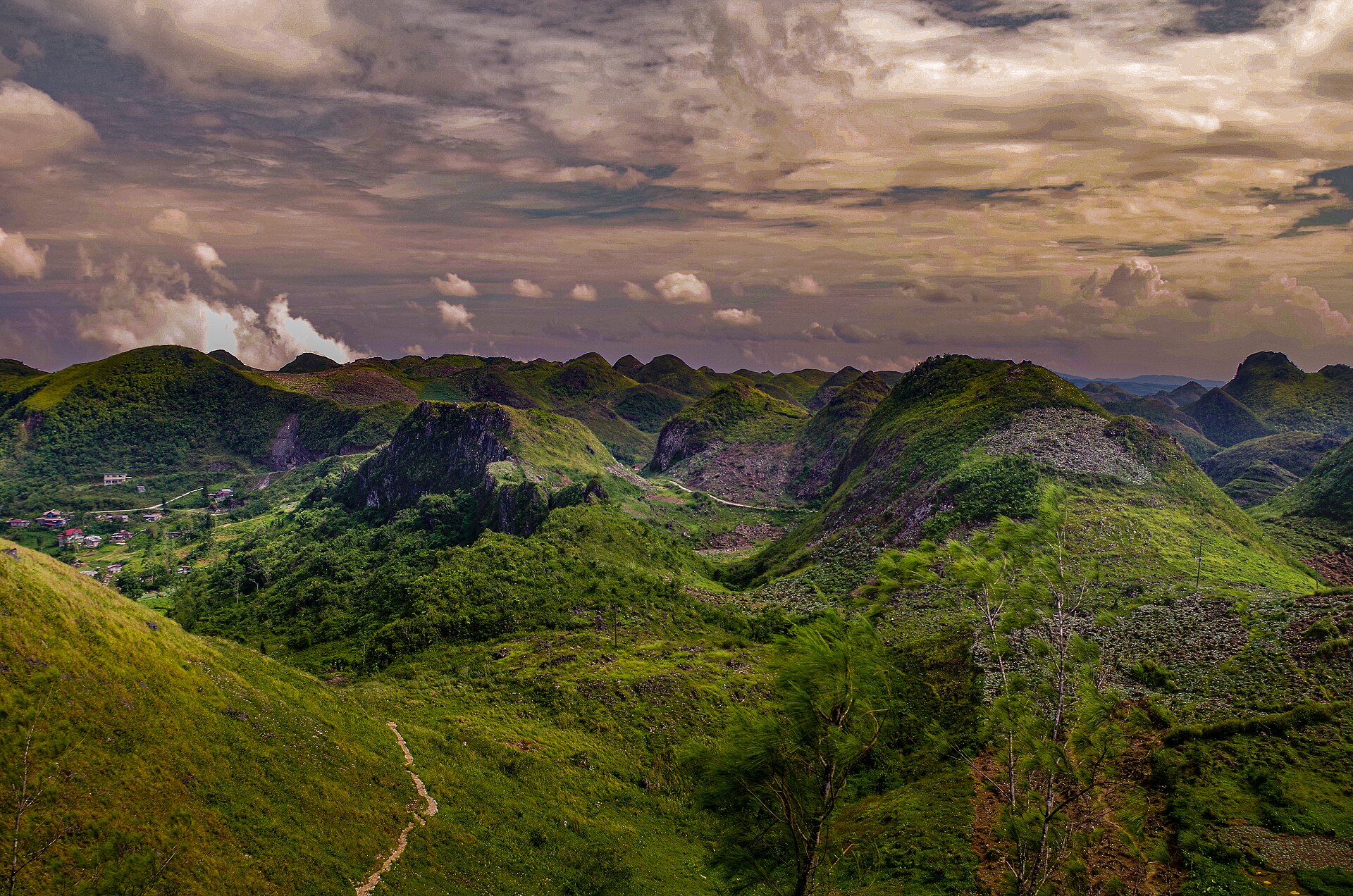
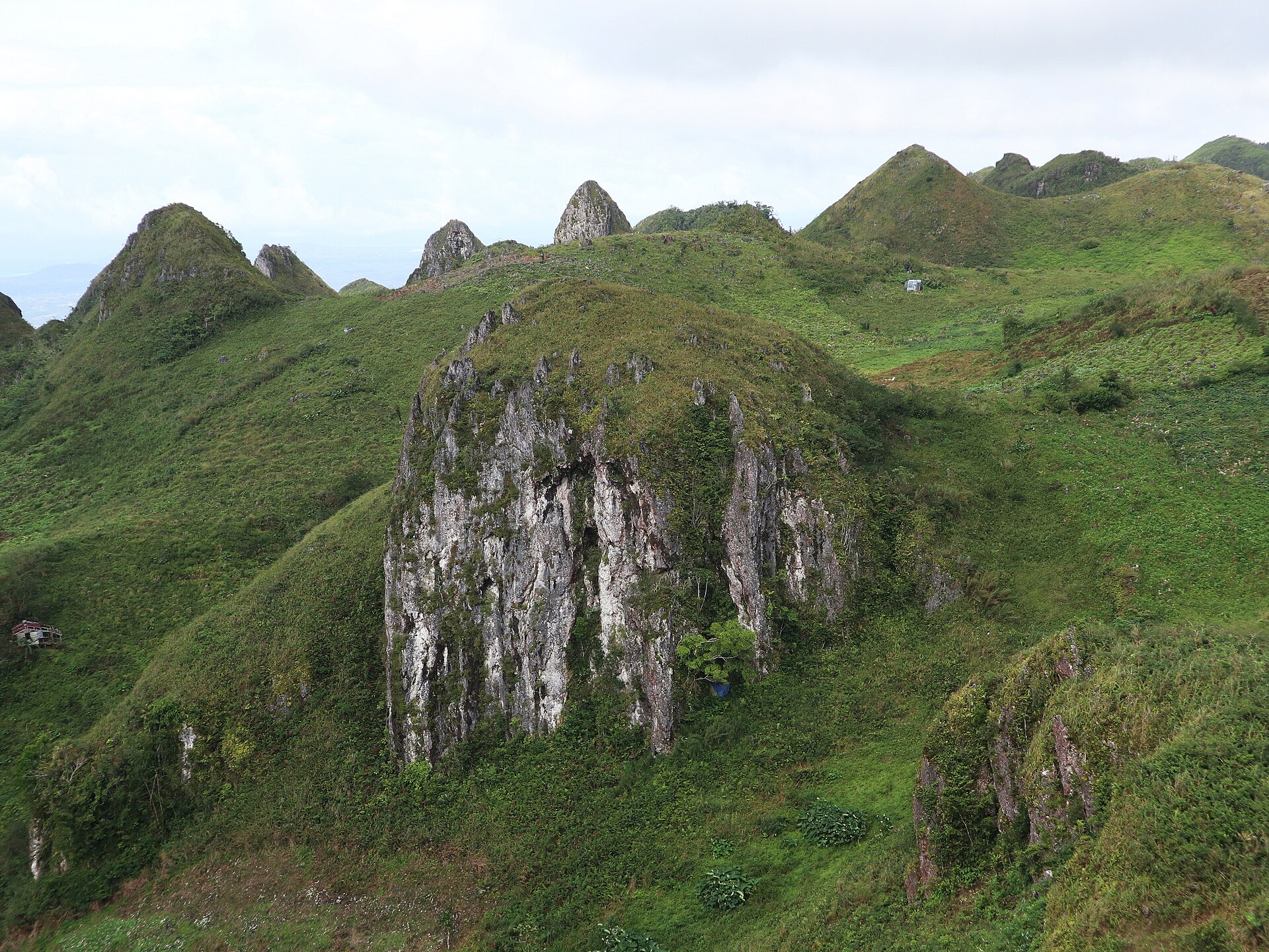
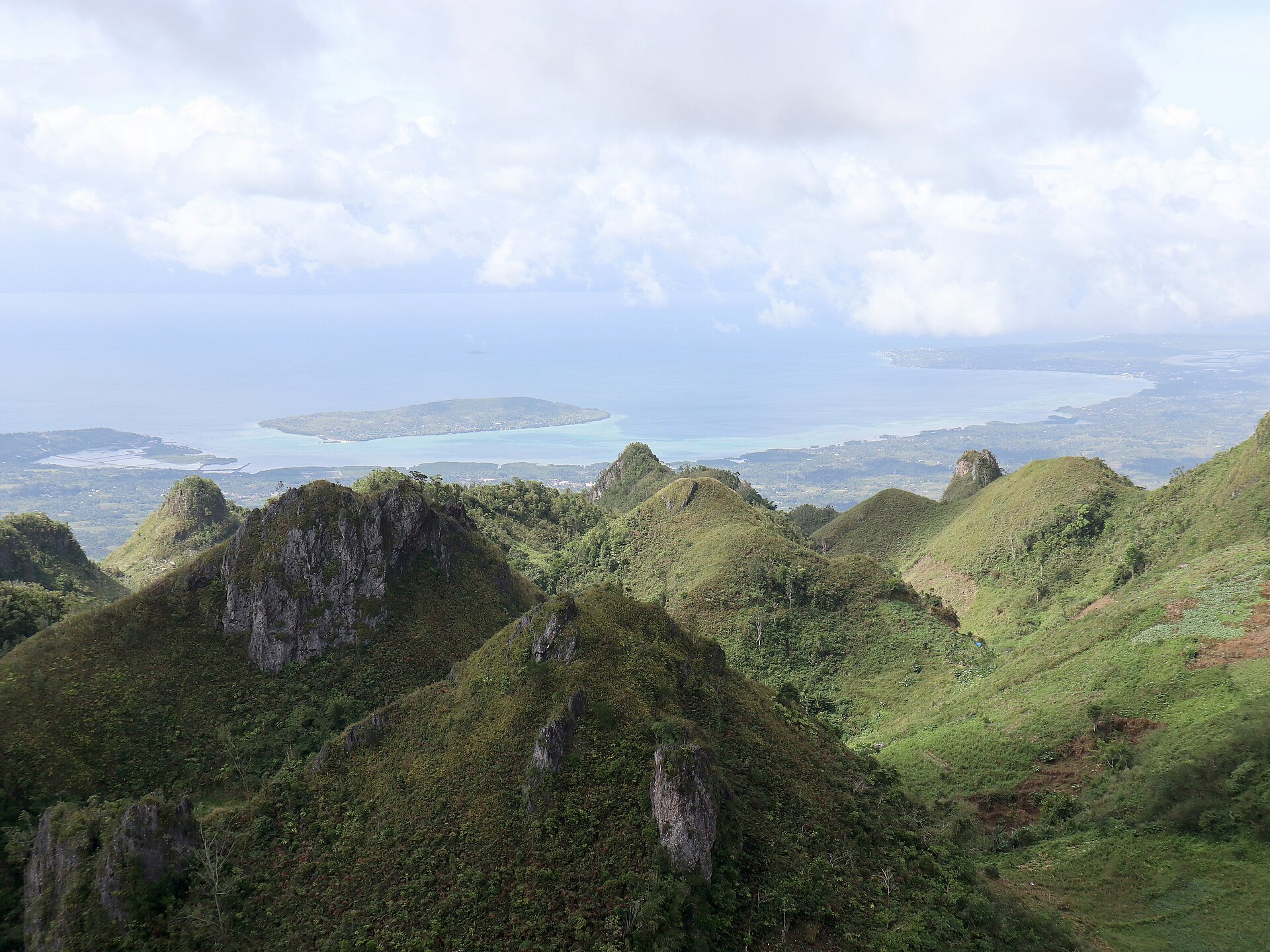
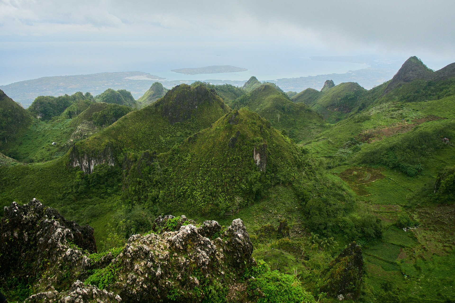
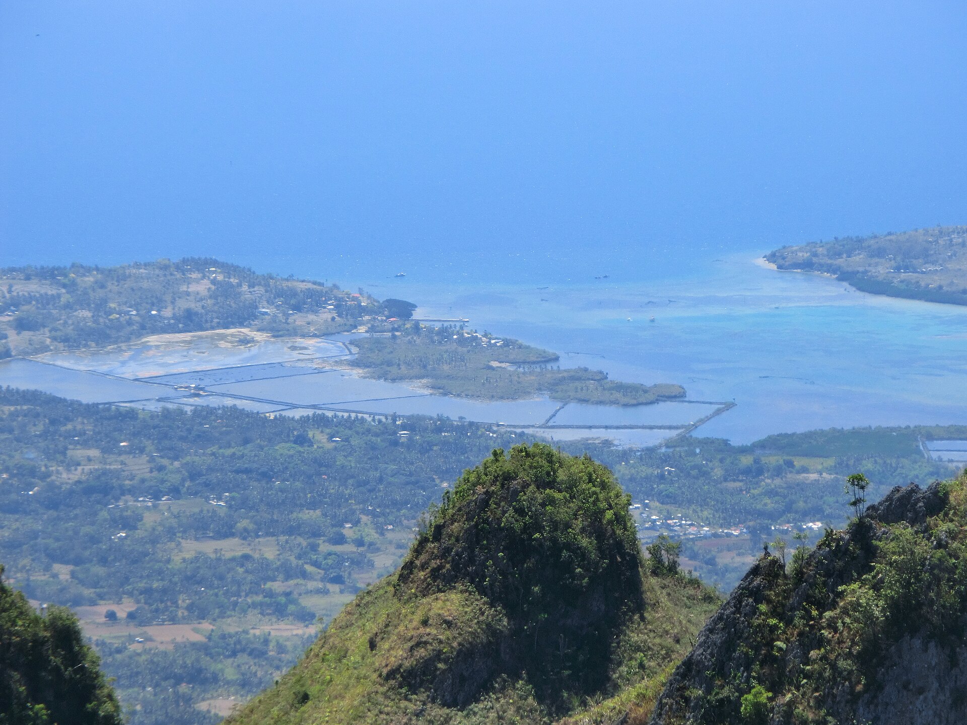
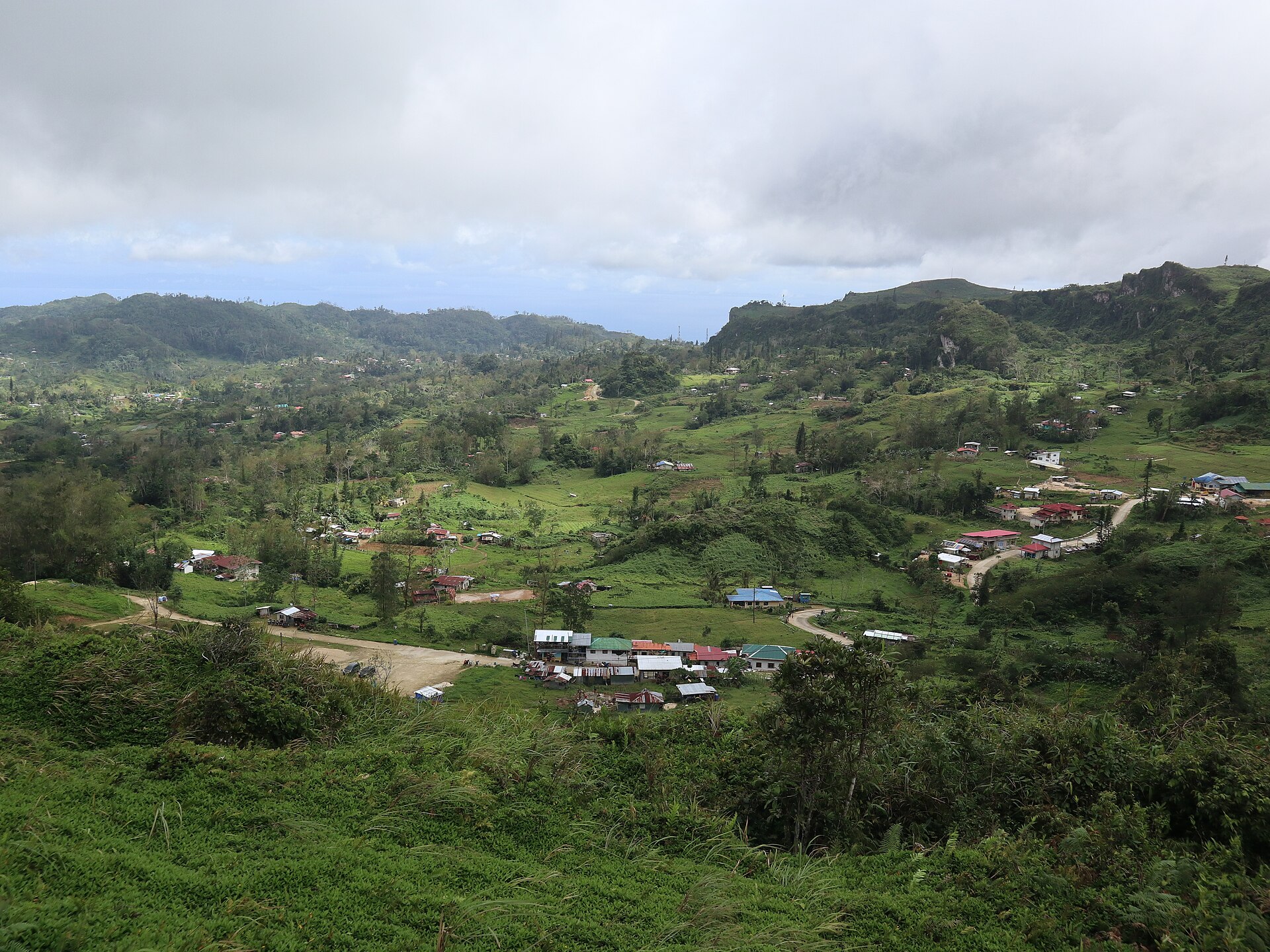
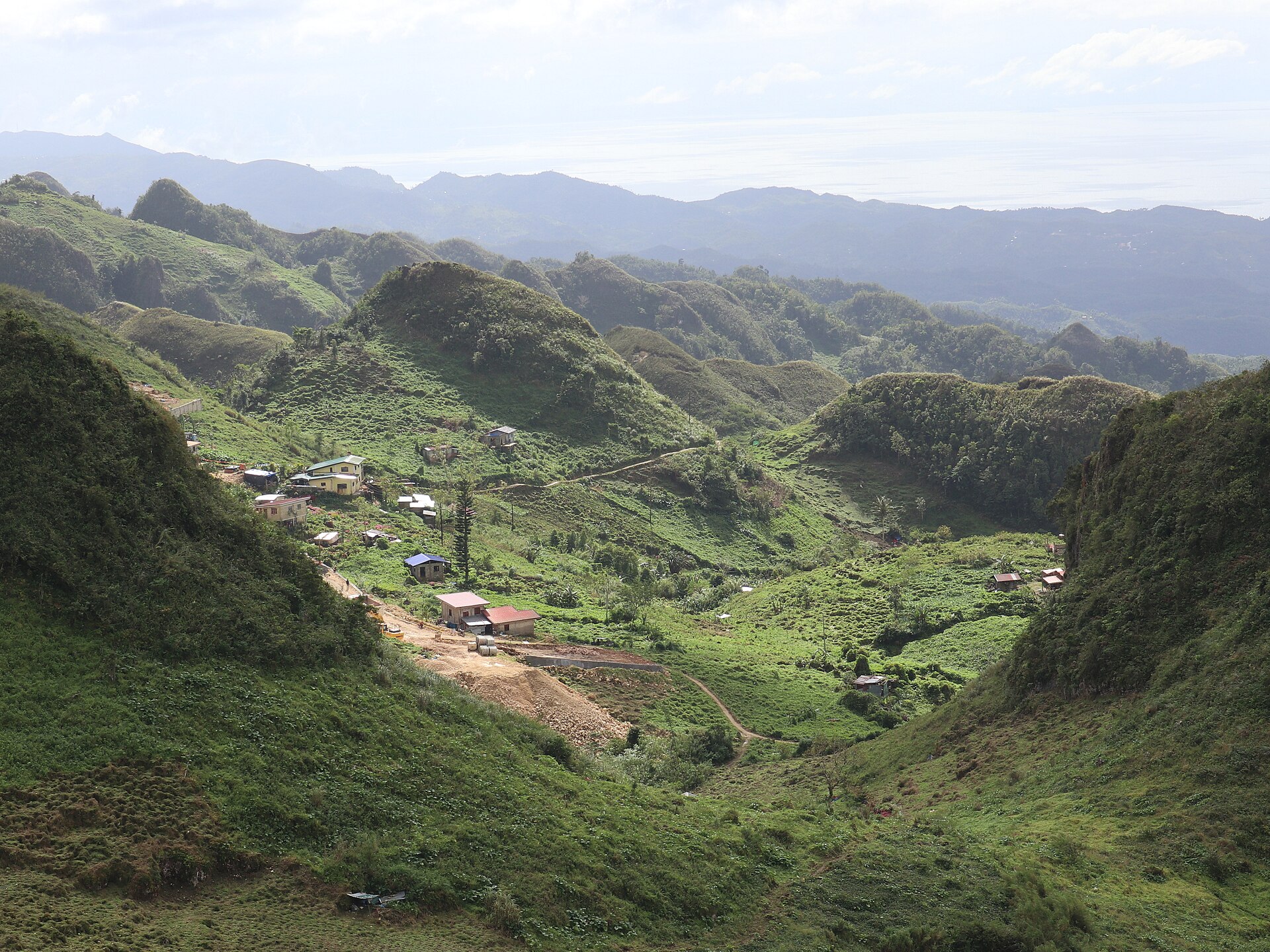
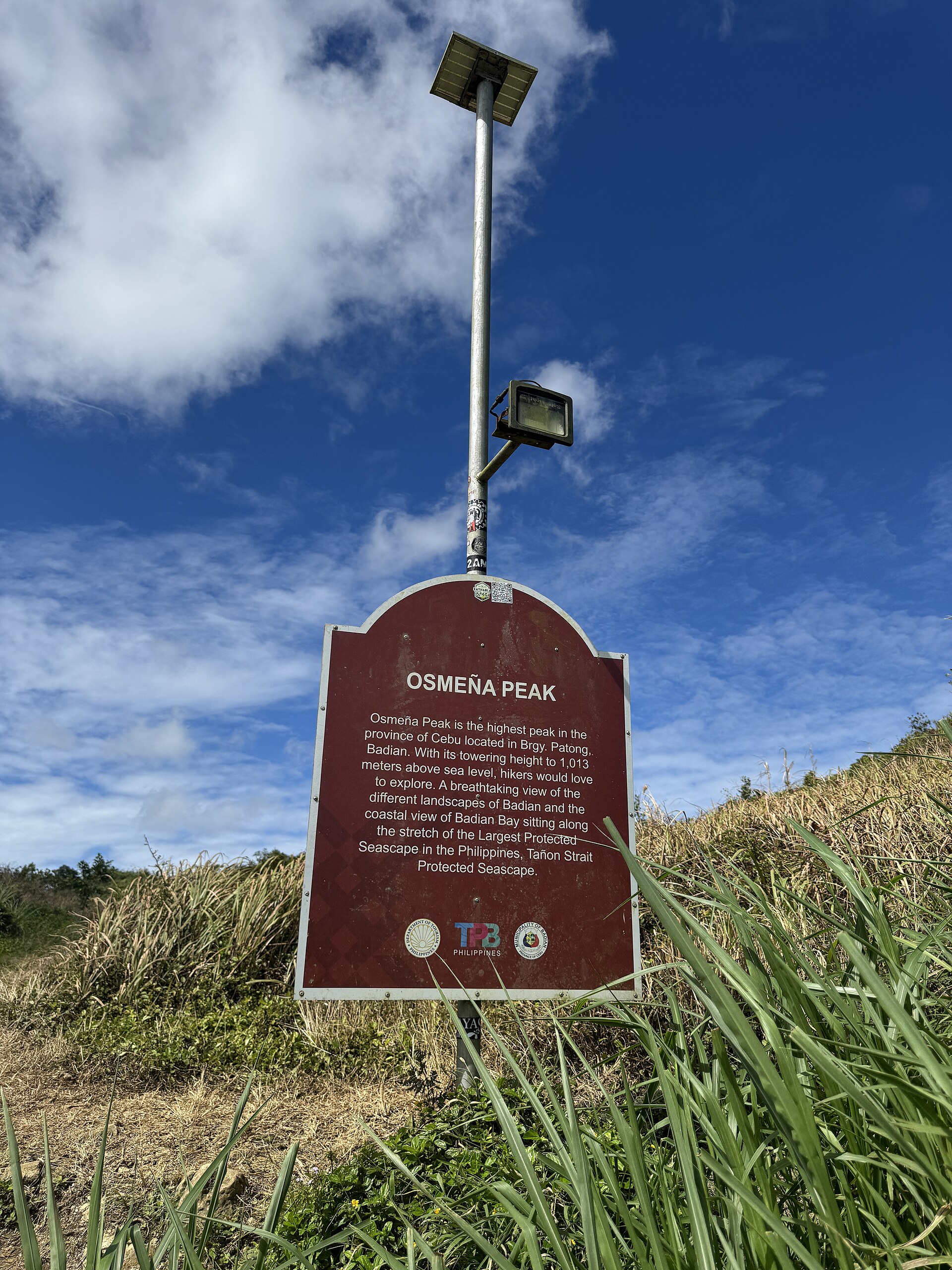
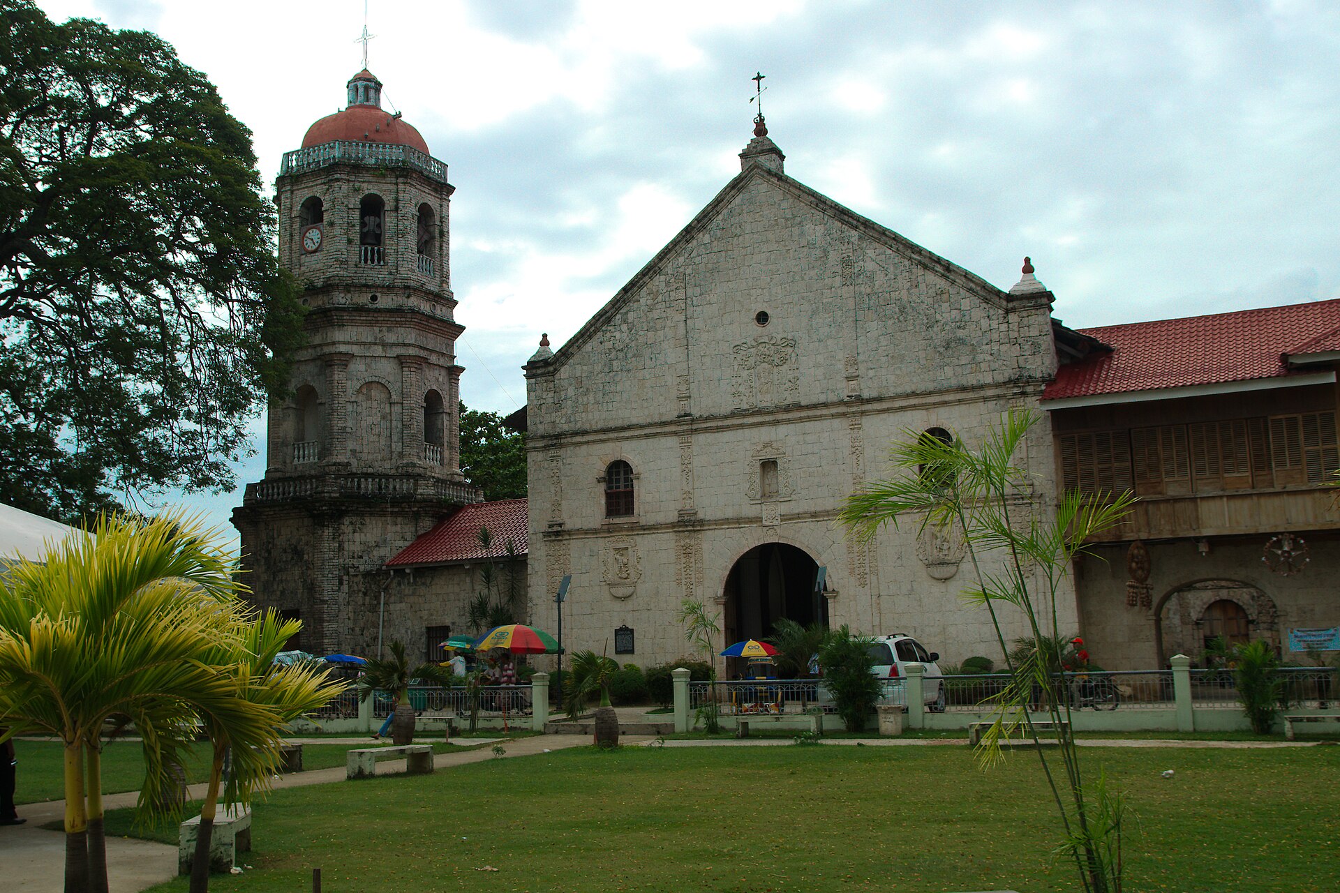
Tap a photo to see it full size. Gallery photos come from Wikimedia Commons; each photographer's credit shows when you open the photo.
Watch before you go
Photo: "Osmeña Peak, Cebu, Philippines" by Tyrll Adolf Itong, via Wikimedia Commons, licensed under CC BY-SA 4.0.
Last updated October 16, 2026


.jpg)
.jpg)

.jpg)
.jpg)
.jpg)


